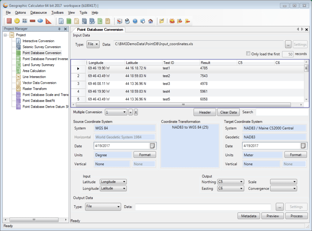
Geographic Calculator is an advanced software platform which provides extremely accurate locational data by utilising highly efficient algorithms. It is often employed by scientists, cartographers and anyone who is involved in the field of energy exploration. As all data can be exported to different file types, this application can be used to distribute information to any other stakeholders (such as when presenting a project to a drilling team). A free trial version is available before a paid download is required.
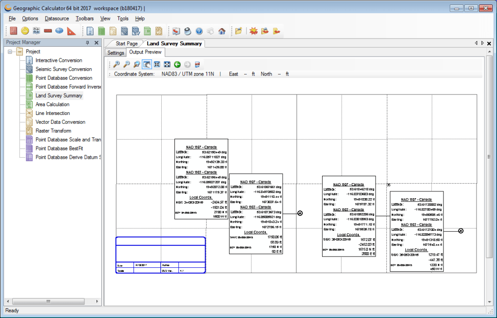
Geographic Calculator boasts a number of unique features. A handful of these include land grid tools, seismic surveys and geoid creation software. There is also a helpful section which will guide users through various processes in the event that they are novices. All geodetic parameters are based upon XML, so sharing this data between two different devices will normally not present an issue.
Geographic Calculator currently supports the Petrel CTL file-writing system. A handy project manager helps to increase pipeline management, data collation and overall workflow rates. Access to specific features and functions can likewise be controlled by adjusting the administrative settings. This is useful when users hope to keep their data safe from prying eyes or there are corporate privacy issues at stake.
Version
1.0
License
Paid
Platform
Windows
OS
Windows Vista
Downloads
2
Developer
Visit Website